Log in
All resources
Create a design
297 Free Images of 1850 Maps
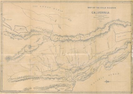
maps by joseph hutchins colton
cc-zero
pages with maps
1855 maps
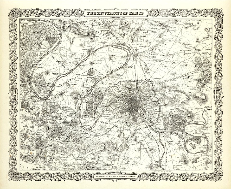
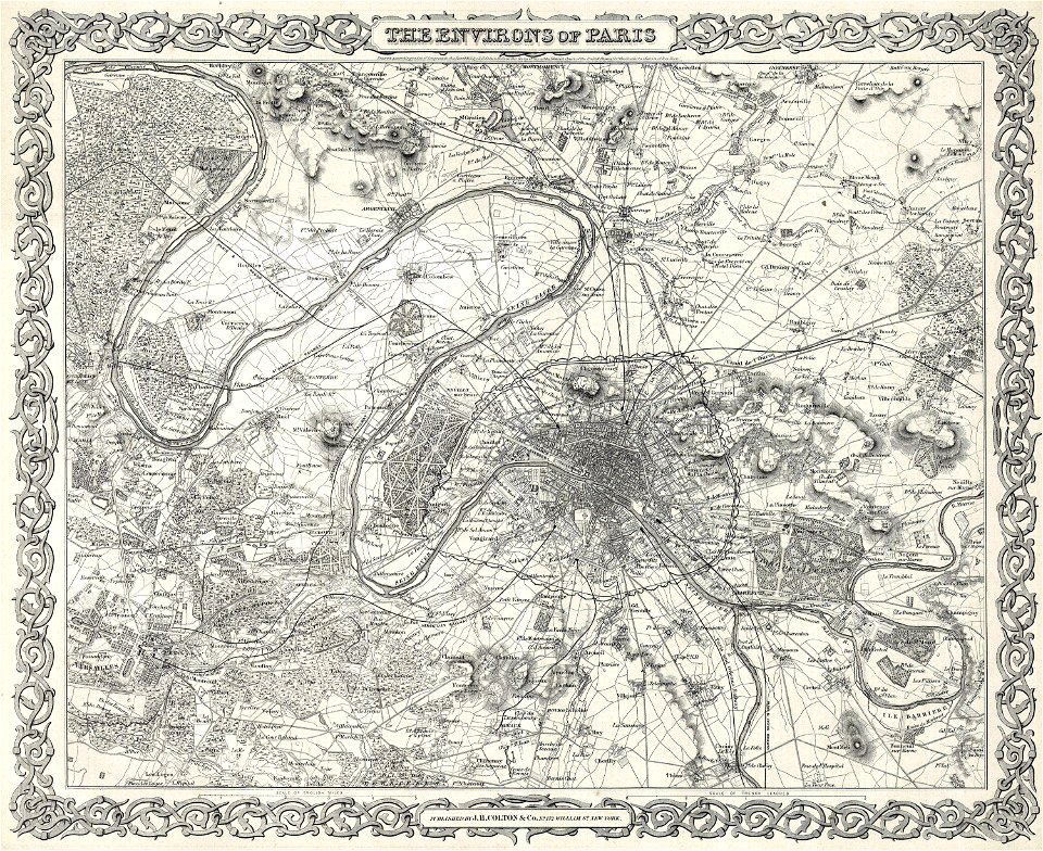
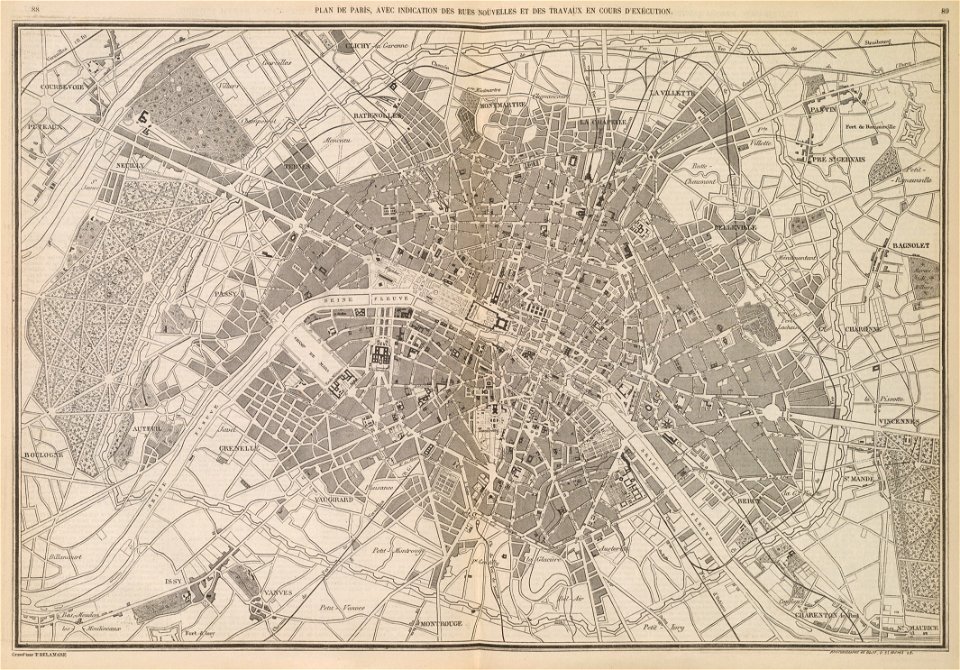
1850s maps of paris
maps by john tallis
maps by john rapkin
1854 maps
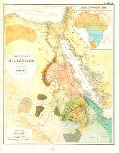
lepsius-projekt - maps
maps of paris in the 1850s
history of visualization
dot maps
california gold rush
john sutter
egyptian halayeb triangle
lepsius-projekt - maps
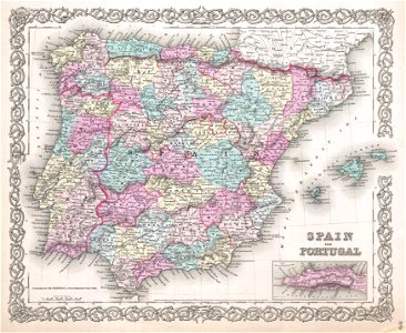
maps by joseph hutchins colton
1855 maps
old maps of the iberian peninsula
1850s maps of portugal
maps by philippe vandermaelen
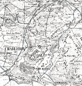
old maps of charleroi
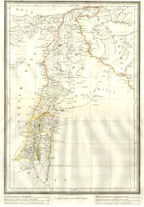
1850s maps of palestine
1850s maps of israel
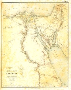
lepsius-projekt - maps
egypt in the 1850s
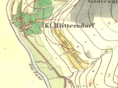
maps by royal prussian land survey
kleinblittersdorf
maps of paris from the david rumsey historical map collection
1856 maps
old maps of île-de-france
1855 in paris
1855 in paris
1855 maps
maps from the mechanical curator collection
1857 books
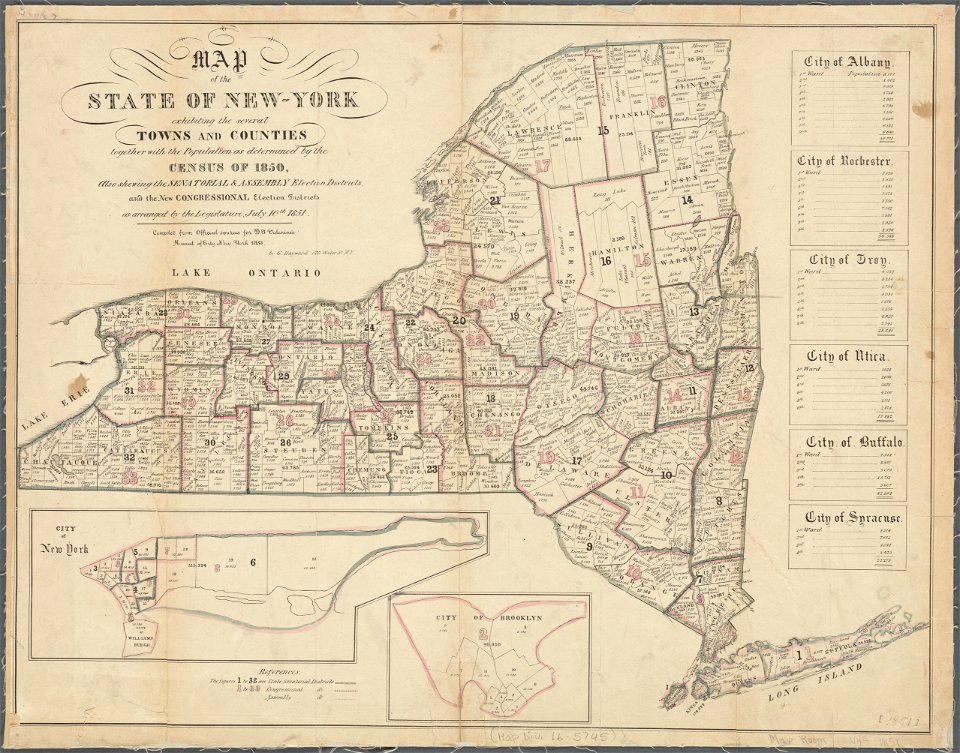
maps in the library of congress
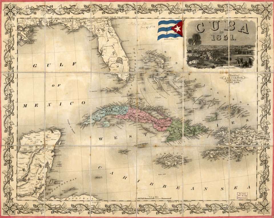
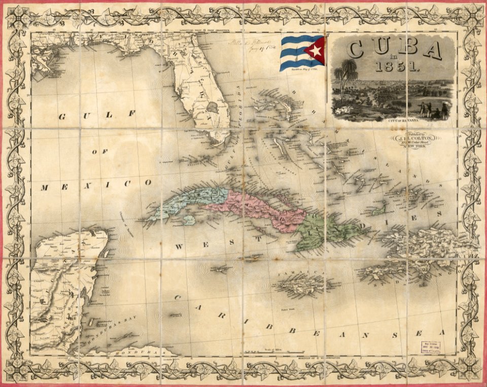
1851 maps
maps in the library of congress
1851 maps
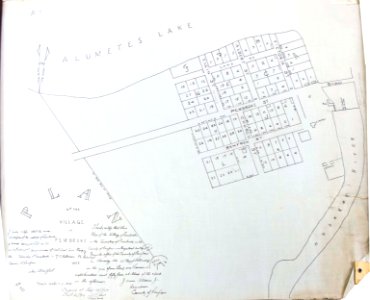
pembroke
ontario
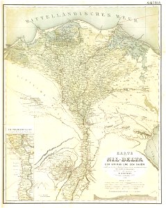
old maps of nile delta
lepsius-projekt - maps
l'illustration
1853
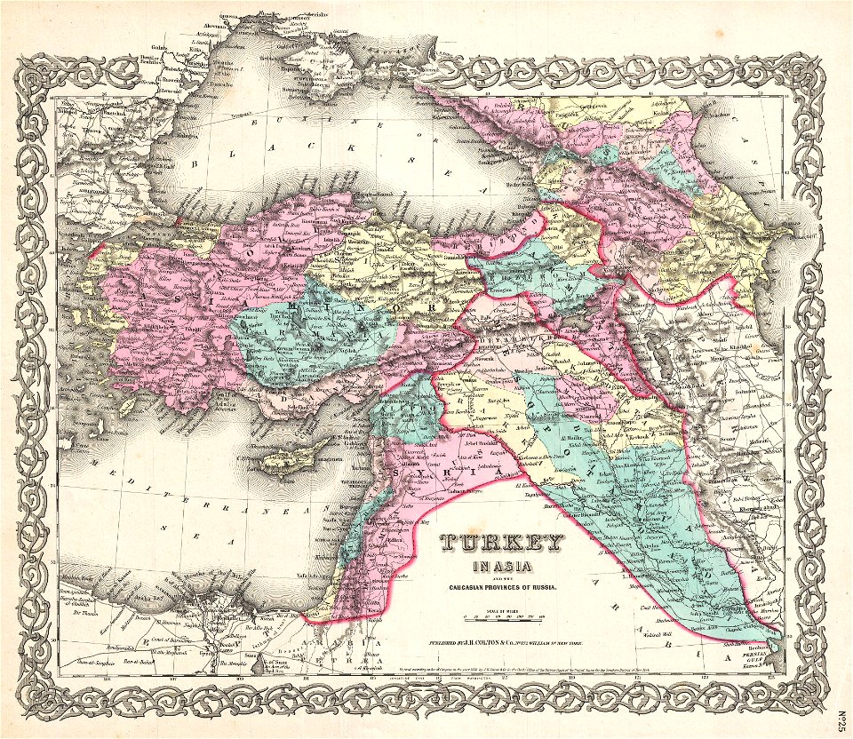
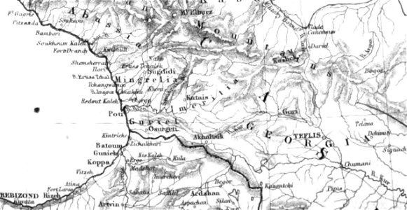
19th-century maps of the caucasus
old maps of the middle east
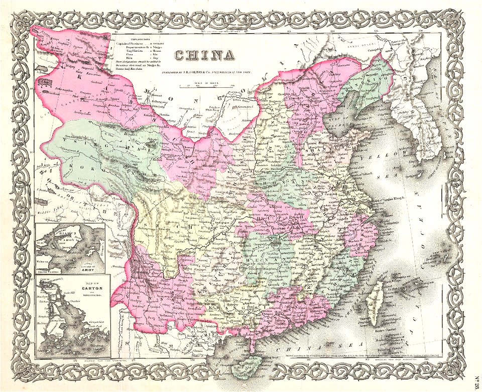
19th-century maps of tibet
1850s maps of china
lepsius-projekt - maps
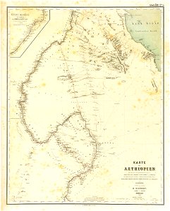
1850s maps of sudan
maps by joseph hutchins colton
1855 maps
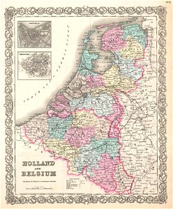
old maps of luxembourg
1855 maps
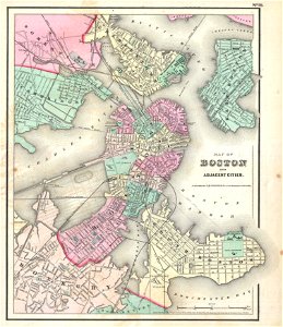
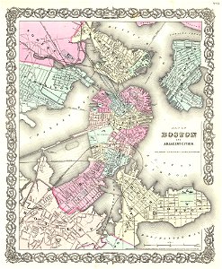
maps by joseph hutchins colton
1857 in boston
maps by joseph hutchins colton
1855 in boston
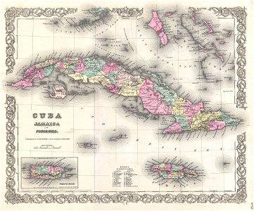
19th-century maps of taiwan
old maps of korea
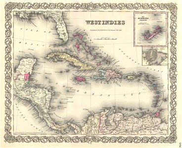
old maps of jamaica
colonial cuba
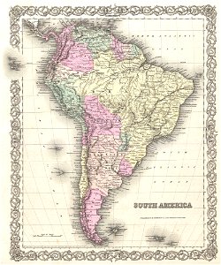
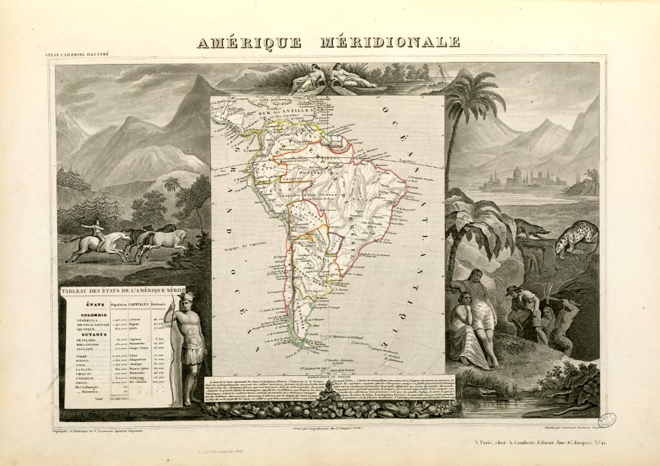
1850s maps of south america
english-language maps
joseph james forrester
port wine
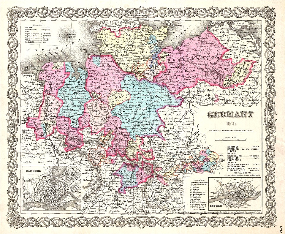
19th-century maps of lower saxony
old maps of mecklenburg
old maps of switzerland
johannes ratelband
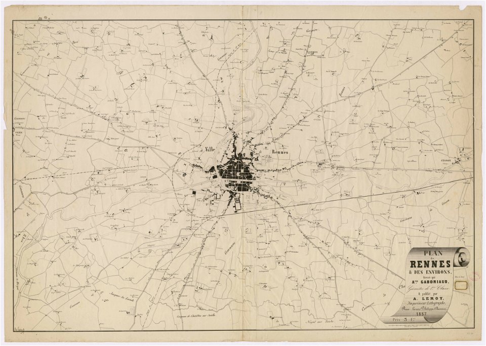
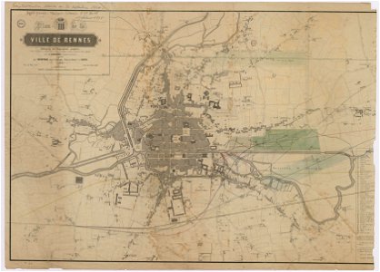
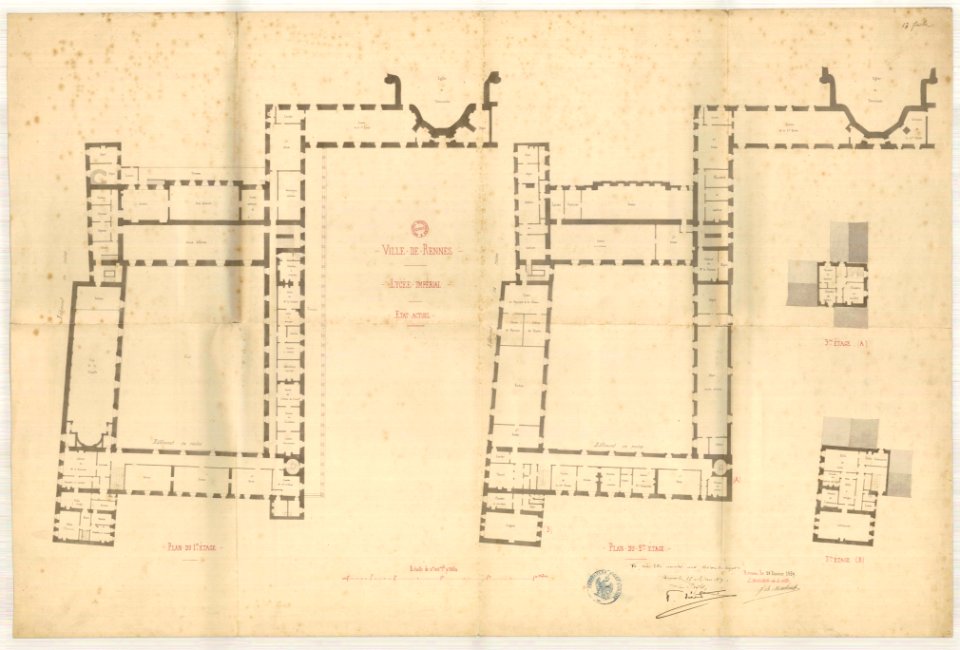
rennes in the 1850s
old maps of rennes
maps of paris from the david rumsey historical map collection
1854 maps
maps showing 19th-century history
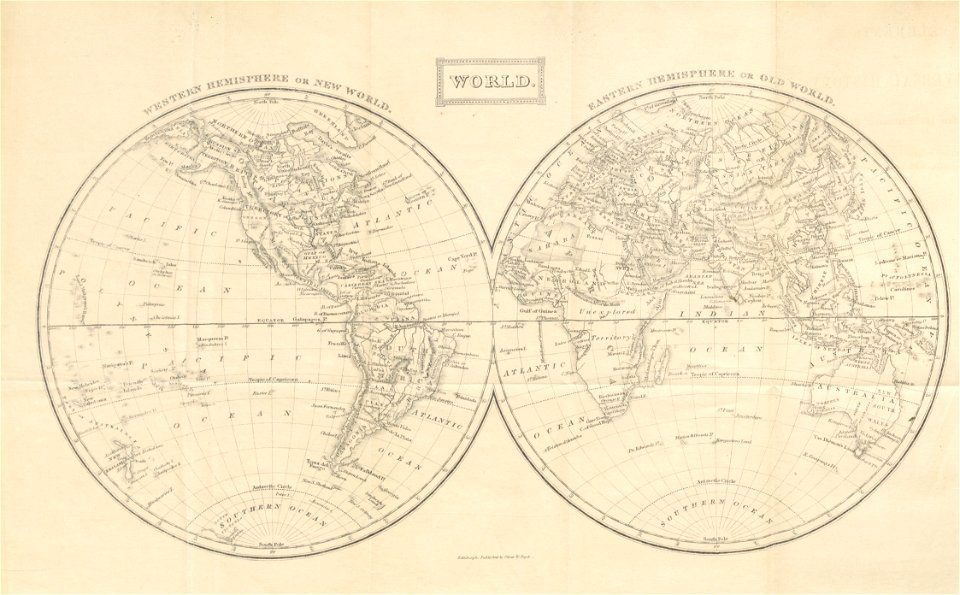
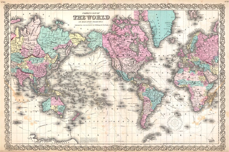
political maps of the world
items kept by the national museum of slovenia
february 2008 in ljubljana
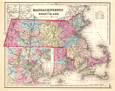
maps by joseph hutchins colton
1857 maps of massachusetts
1846 in switzerland
old maps of zürich
ancient egypt
egypt
rennes in the 1850s
old maps of rennes
amsterdam
ij
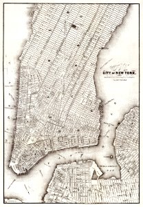
new york
maps
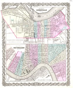
louisville,
kentucky
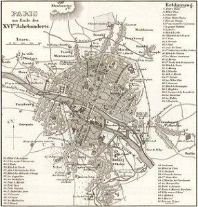
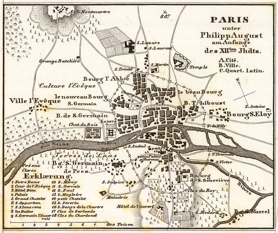
maps of paris from the david rumsey historical map collection
paris in the 16th century
political maps of the world
1852
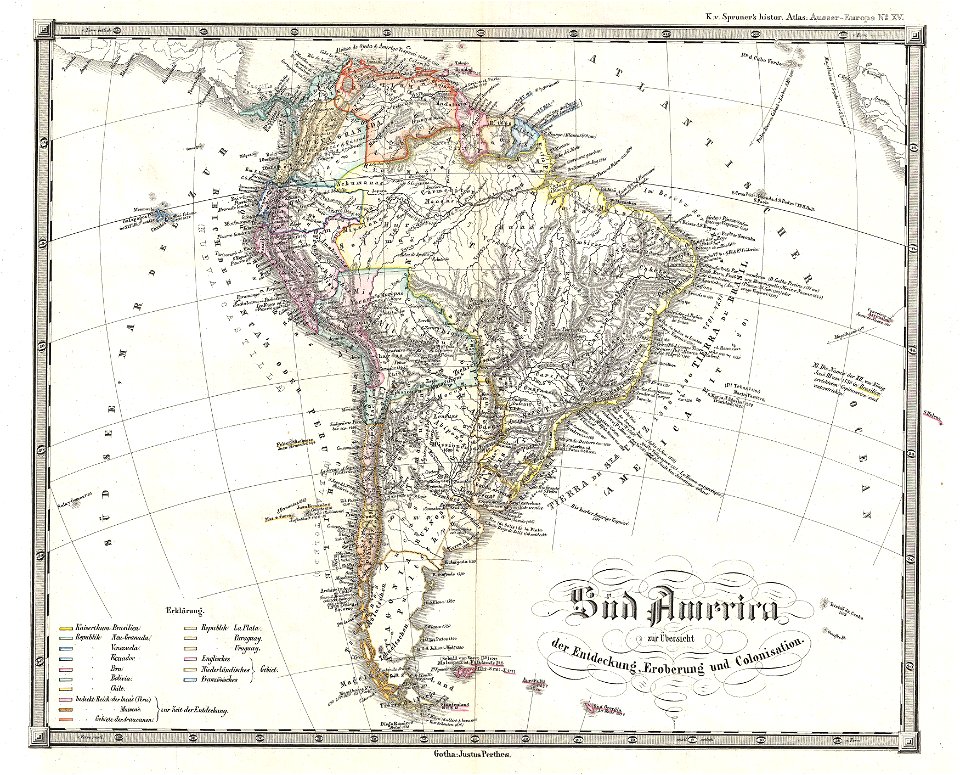
1850s maps of south america
karl spruner von merz
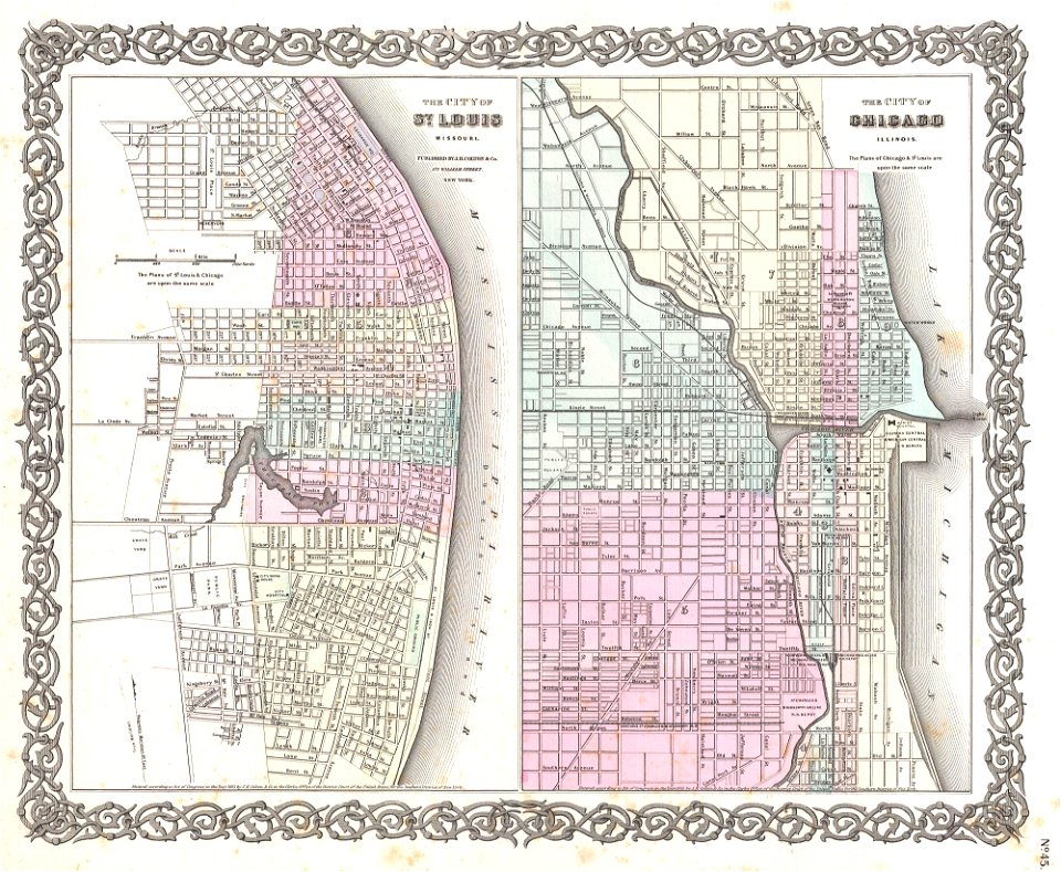
1850s maps of chicago
missouri
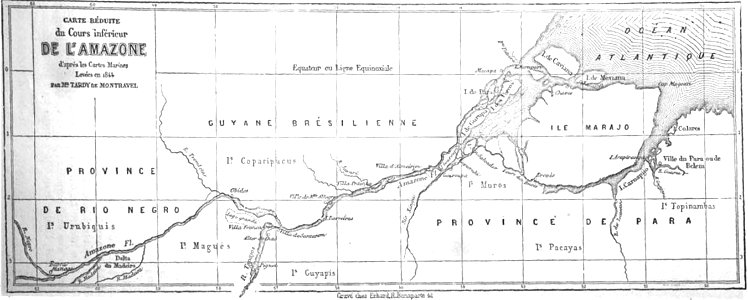
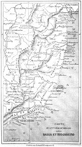
19th-century maps of brazil
map of brazil
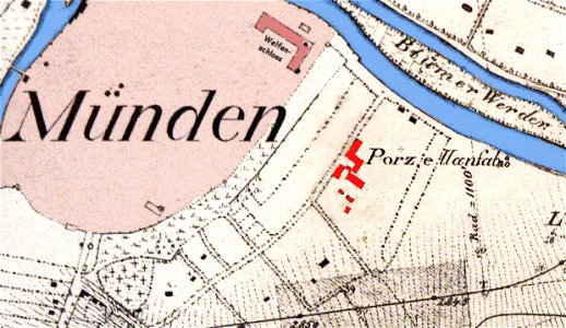
historical maps of lüneburg
stadtarchiv lüneburg
fayence-manufaktur münden
maps of hann. münden
19th-century maps of sweden
sweden in the 1850s
19th-century maps of brazil
maps by alexandre vuillemin
maps of paris from the david rumsey historical map collection
karl spruner von merz
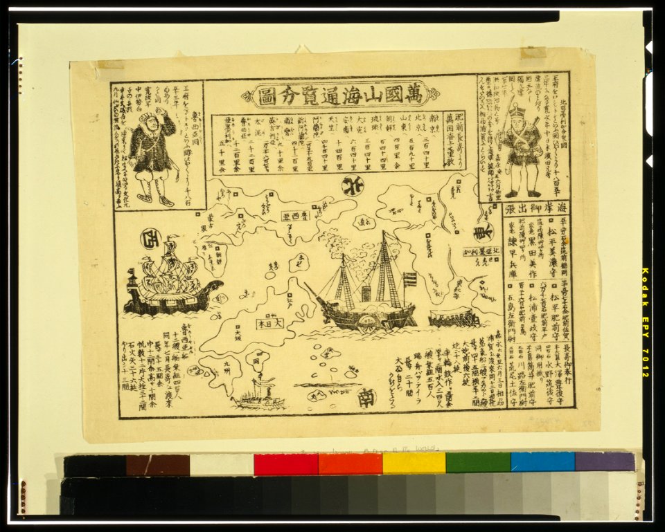
ukiyo-e by unknown artists
nagasaki-e
ukiyo-e by unknown artists
nagasaki-e
self-published work
pd us expired
old maps of rennes
gare de rennes
holwinde
usquert
jean-baptiste martenot
old maps of rennes
images from the new york public library
george hayward
pictorial history of the russian war 1854-5-6 by george dodd
1856 maps of georgia
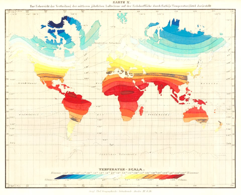
victor levasseur - maps of the world
historical images of arecaceae
george greatbach
battles in art
globe
maps
old maps of zürich
zürich
volume 1 of le tour du monde
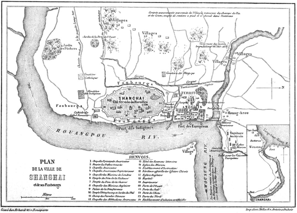
old maps of shanghai
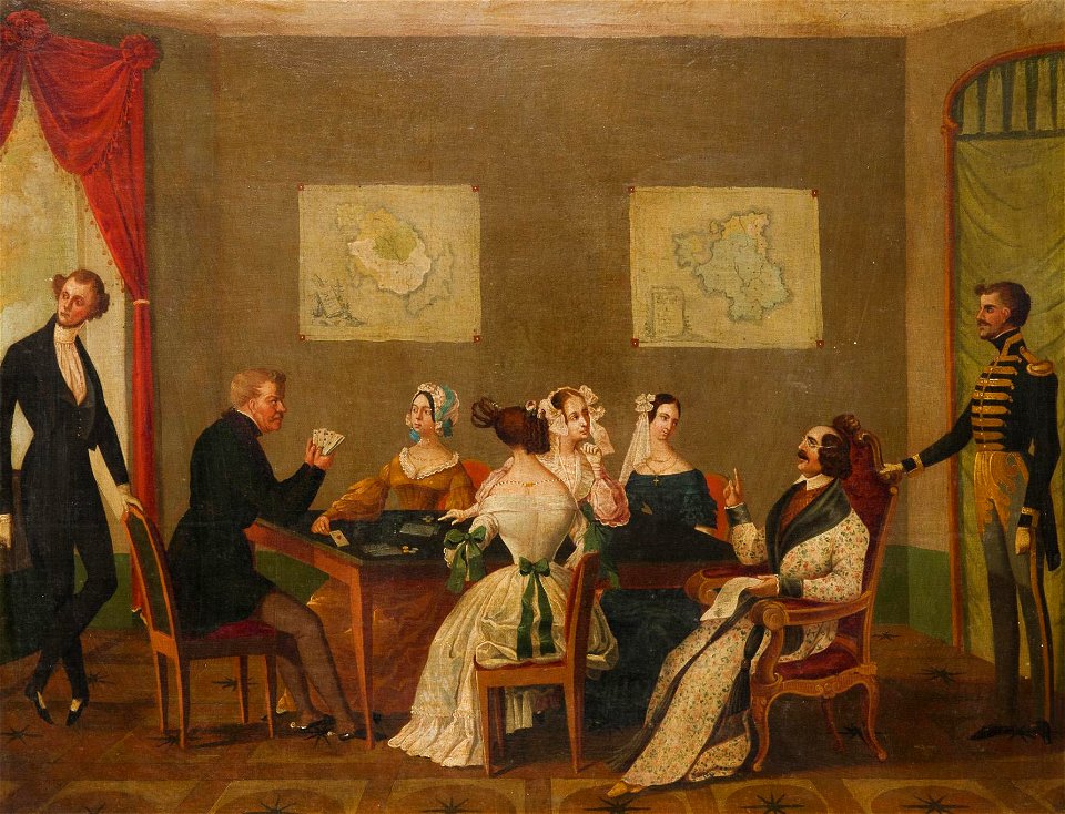
parties in art
maps in art
coats of arms of switzerland
coats of arms of italy
sidewalk
city
pages with maps
brown
self-published work
pages with maps
rural
roof
animals
mammals
île de la cité in art
paris
17th-century maps of korea
1680s maps of china
winter
snow
winter
tree
robert wallis (engraver)
henry warren
self-published work
architecture
self-published work
card
self-published work
tree
grass
field
portrait paintings by michele gordigiani
scapigliatura
1850s maps of ontario
maps by john tallis
robert wallis (engraver)
henry warren
architecture
roof
maps by john tallis
maps by john rapkin
19th-century maps of china
richard jarman
architecture
town
karl ii zu schwarzenberg
eugen adam
1850s maps of the americas
maps by john tallis
old maps of prague
history of karlín
maps of paris from bibliothèque nationale de france
maps of paris in the 1850s
works of nathaniel dearborn
1850s maps of boston
maps of the great western railway
charles frederick cheffins
old rail transport maps of the united kingdom
charles frederick cheffins
landais & oberthur
maps from gallica
self-published work
rural
1855 maps of the russian empire
1850s maps of crimea
1857 maps of illinois
1850s maps of chicago
1849 maps of north america
old maps of canada
1 - 100 of 297
Next page
/ 3